

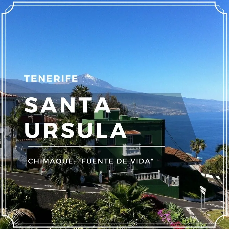
Updated in 2026. Santa Úrsula does not normally appear on a first list of Tenerife “essentials”, and that is precisely part of its appeal. It lies in the north, in the Acentejo district, with views of Mount Teide, dramatic cliffs, viewpoints, vineyards, guachinches and coastal corners that bear no resemblance to a picture-postcard tourist beach.
If you are looking for a useful guide, this is the important point: Santa Úrsula is a place for looking, walking, eating well and discovering a more local north. It is not ideal if all you want is an easy sandy beach and sunlounger. It is an excellent choice if you would like to combine viewpoints, volcanic coast, a short route and a guachinche without turning the day into an obstacle course.
Santa Úrsula at a glance
- Best plan: La Quinta, La Giganta, La Quinta viewpoint and a guachinche.
- For nature: the Acentejo Coast, Las Lagunetas and Las Palomas Special Nature Reserve.
- For swimming: coves such as Santa Ana or Charco del Negro, but only if you know the access well and the sea is calm.
- Recommended time: half a day, or a full day if you combine it with La Orotava, El Sauzal or Puerto de la Cruz.
- Key advice: do not promise an easy beach. Here, the cliffs and paths are in charge.
Where is Santa Úrsula?
Santa Úrsula lies on Tenerife’s northern slopes, between the La Orotava area and the Acentejo district. The municipality extends from the summit to the coast, crossed by ravines and with privileged views towards Mount Teide, the valley and the Atlantic.
It is a quick drive from Puerto de la Cruz. From Santa Cruz or La Laguna, it is also well connected by the TF-5. If you are staying in the south, Santa Úrsula can form part of a full-day route through the north, best combined with La Orotava, El Sauzal, Tacoronte or Puerto de la Cruz.
See Tenerife Tourism’s information about Santa Úrsula
La Quinta and La Giganta: the most photogenic stop
La Quinta is one of the most pleasant areas for a simple visit. The Town Council presents it as a place to walk and enjoy the Jardín Social, coast and cliffs. This is where you will find La Giganta, a plant-covered sculpture that has become one of the municipality’s most photographed symbols.
It is not a complicated plan: park, walk, take photographs, slow down and continue towards the viewpoint. It works very well with children, people who do not want long trails or travellers looking for an attractive stop between the north and Acentejo.
See La Quinta and La Giganta on the municipal website
La Quinta viewpoint and bunker
La Quinta viewpoint is one of Santa Úrsula’s most impressive balconies. From here, you can clearly understand the Acentejo Coast: cliffs, ravines, ocean and a shoreline that cannot easily be tamed.
Nearby is La Quinta Bunker, also known as Batería Quinta Roja. Tenerife Tourism includes it among the municipality’s notable sites, and the Town Council explains that the area is accessed from the La Quinta development, using exit 29 of the TF-5 towards Puerto de la Cruz.
An important tip: even when the viewpoint is easy to reach, do not take risks around edges or shortcuts. The northern cliffs are beautiful, but they have no patience for foolishness.
See La Quinta viewpoint on the municipal website
Acentejo Coast: cliffs, rocks and rough sea
The Acentejo Coast is one of the area’s great scenic assets. Medianías de Tenerife describes it as a highly distinctive coastal strip crossing municipalities such as El Sauzal, La Matanza, La Victoria and Santa Úrsula, together with parts of Tacoronte and La Orotava, with cliffs, ravines, beaches and coastal platforms struck by the waves.
Translated into a real plan: incredible views, but access is not always straightforward. If you are looking for a beach bar, showers and easy parking, this is not the place. If you want northern scenery, photographs, silence and a coast with character, it is.
See the Acentejo Coast information from Medianías de Tenerife
Santa Úrsula coves: Santa Ana and Charco del Negro
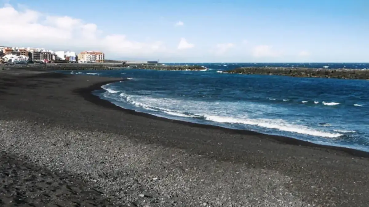
Santa Úrsula has a rugged coast, so its swimming areas are not convenient beaches for everyone. Tenerife Tourism mentions Santa Ana Cove and Charco del Negro as small natural coves valued for their tranquillity and volcanic setting.
Before going down, consider the access, swell, tide and your fitness. If the sea is rough, look from above and leave it at that. There is great elegance in not entering when the ocean is clearly saying “not today”.
Town centre, heritage and urban walks
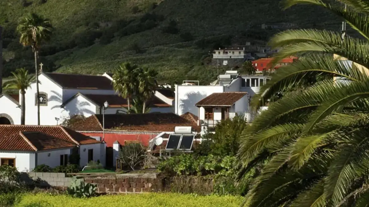
Central Santa Úrsula retains traditional houses, chapels, squares and places connected with the agricultural history of the north. It is not a monumental visit with long queues, but a peaceful walk that adds context to your day. If you enjoy unhurried walking, combine the centre, La Quinta and a viewpoint.
Tourism information also includes names such as Casa Verde, Casa de la Vera, Casona de San Luis and Lavaderos de los Sauces. My advice is to choose two or three places rather than treating the municipality like a collection of stickers. Santa Úrsula is best enjoyed with an appetite, calm and views.
Guachinches in Santa Úrsula
Santa Úrsula is known for its connection with vines and for its guachinches. If you want simple Canarian food, local wine and a local atmosphere, this municipality can be a good choice. In 2026, however, check opening hours before travelling, because guachinches do not operate like tourist restaurants that are always open.
- Call or check opening hours in advance, especially on weekdays.
- Do not expect an enormous menu: home cooking and a few dishes are normal.
- Go early if you want to avoid waiting at the most popular places.
- If you are drinking wine, another person must drive. It sounds obvious, but obvious things save days too.
If you want to understand this type of establishment better, also read our guide to guachinches in Tenerife.
Recommended driving route through Santa Úrsula
- Start at La Quinta and La Giganta’s Jardín Social.
- Continue to La Quinta viewpoint and the bunker area.
- Stop in the town centre or at a heritage site.
- Eat at a guachinche if you have a booking or confirmed opening hours.
- Finish with a view of the Acentejo Coast or continue to El Sauzal.
If you come from Puerto de la Cruz, you can complete this route in a long morning. If you come from the south, combine it with La Orotava or a broader northern route to make the most of the journey.
Frequently asked questions about Santa Úrsula
Is Santa Úrsula worth visiting?
Yes, if you are looking for viewpoints, the northern coast, guachinches and a less tourist-oriented plan. It is not the best choice if you only want an easy beach with services.
What is the most beautiful part of Santa Úrsula?
La Quinta, La Giganta, La Quinta viewpoint and the views of the Acentejo Coast are the most rewarding places for a first visit.
Does Santa Úrsula have a beach?
It has small natural coves such as Santa Ana and Charco del Negro, but access can be demanding and swimming depends greatly on sea conditions.
Where can you eat in Santa Úrsula?
Looking for a guachinche is a good option, but check opening hours and availability before travelling because they do not all open like conventional restaurants.